Hydro-Telemetric Network for Surface Waters – HYDRONET
Gauging Instruments, Smart Technologies, Installation and Operation
Member of the Networks:
Project Scope
The aim of HYDRONET is the development and pilot operation of a model hydro-telemetric network for monitoring surface waters, with the perspective that the principles of design and operation of this network will be applied to the hydrometric networks in the Greek Territory that will provide observations to the Open Hydrosystem Information Network OpenHi.net of the HIMIOFoTS project.
To achieve this goal, an integrated approach is followed that is based on:
(1) international best practices in hydrometry (principles, rules and specifications for network configuration and operation, use of telemetry technologies, operating costs parameters),
(2) the development of smart low-cost technologies for water stage measurements through telecommunication,
(3) the further advancement of discharge estimation methods from observations of the surface velocities,
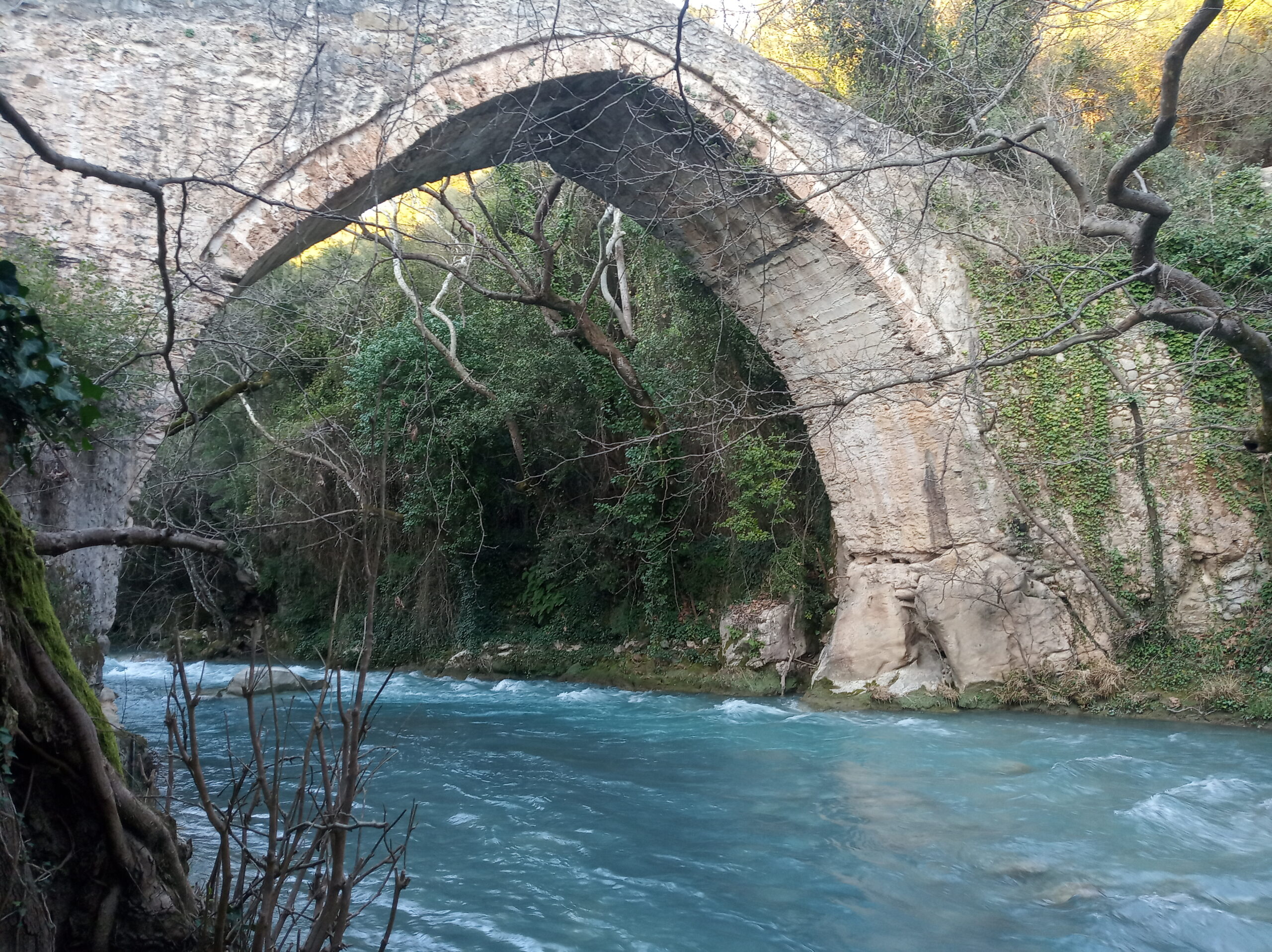
(4) the implementation of the above in the hydro-telemetric network DEUCALION (in operation since 2011) of the National Observatory of Athens (NOA) in Attica-Boeotia and the Peloponnese, with its upgrade and further expansion of the hydro-telemetric network of NOA with new stations. Data from the stations are sent to the OpenHi.net website, where they are openly accessible.
The final goal is the establishment of a national hydro-telemetric network that will supply the Open National Research Infrastructure of hydro-environmental information with hydrological data/measurements/observations. HYDRONET aspires to establish time-series of high-quality data for water resources management and risk assessment of hydrological extremes, as well as for water-use planning and hydraulic infrastructures design.
Objectives – Expected Results
- Hydro-telemetric network in full operation.
- Maintenance and upgrade of installed hydro-telemetric networks of NOA.
- Further development of the hydro-telemetric network with new stations at sites of interest, in combination with other related projects.
- Construction of rating curves at each monitoring station.
- Automatic data entry of the HYDRONET observations in the OpenHi.net database of the HIMIOFoTS project, in collaboration with the Institute of Communication and Computer Systems of the National Technical University of Athens (ICCS/NTUA).
- Data are openly accessible and freely available to any interested party, after quality control.